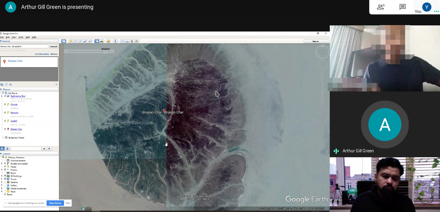
After the 2019 training workshop, we coordinated a series of follow-up trainings for activists learning to employ satellite imagery analysis and geolocation in their human rights documentation work. Arthur Green, geospatial scientist with expertise in environmental governance and human rights issues, led the sessions focusing on how to access to different sets of satellite imagery relating to locations of human rights abuses and their geographic features.
To request training, contact our team via the contact page.